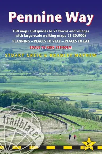
Pennine Way
Edale to Kirk Yetholm - Planning, places to stay and places to eat
21,95 €
inkl. MwSt. und Versand · Lieferzeit 1–2 Werktage
Gesetzliche Gewährleistung: 2 Jahre · Details
Nur noch 2 verfügbar
Beschreibung
Britain's best-known National Trail winds for 253 miles through three National Parks – the Peak District, Yorkshire Dales and Northumberland. This superb footpath showcases Britain's finest upland scenery, while touching the literary landscape of the Brontë family and Roman history along Hadrian's Wall. <br><br>This all-in-one hiking route guide, maps and accommodations for the 253-mile Pennine Way, from England into Scotland. Includes 138 large-scale walking maps (3 1/8 inches to 1 mile); 12 town maps and 15 overview maps. Full details of all accommodations and campsites, restaurants and pubs; plus full public transport information. Includes day-walks.<br><br><ul><li>12 town plans and 138 large-scale walking maps – at just under 1:20,000 – showing route times, places to stay, points of interest and much more</li><li>Plus 15 overview maps</li><li>Itineraries for all walkers – whether walking the route in its entirety over seven to eight days or sampling the highlights on day walks and short breaks</li><li>Practical information for all budgets – camping, bunkhouses, hostels, B&Bs, pubs and hotels – where to stay, where to eat, what to see, plus detailed street plans</li><li>Comprehensive public transport information – for all access points on the path.</li><li>Flora and fauna – four page full color flower guide, plus an illustrated section on local wildlife</li><li>Green hiking – understanding the local environment and minimizing our impact on it</li><li>GPS waypoints. These are also downloadable from the Trailblazer website.</li><li>Includes extra colour sections: 16pp colour introduction and 16pp of colour mapping for stage sections (one stage per page) with trail profiles.</li><li>New style two-colour mapping</li></ul>
Artikeldetails
- EAN
- 9781912716333
- Sprache
- Englisch
- Einband / Art
- Taschenbuch
- Maße
- 180 x 121 x 22 mm
- Erscheinungsjahr
- 2023
- Verlag / Hersteller
- GeoCenter Touristik
Ähnliche Artikel

Mein Urgroßvater, die Helden und ich
null
- EAN:
- 9783789140426
- Sprache:
- Deutsch
14,00 €
inkl. MwSt. und Versand · Lieferzeit 1–2 Werktage
Nur noch 2 verfügbar
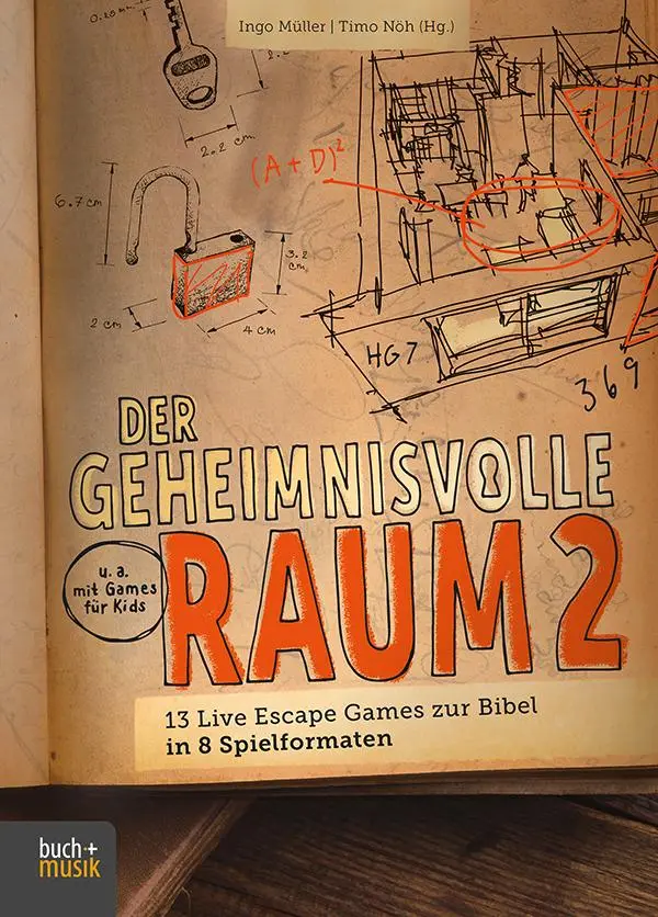
Der geheimnisvolle Raum 2
13 Live Escape Games zur Bibel in 8 Spielformaten
- EAN:
- 9783866872745
- Sprache:
- Deutsch
25,00 €
inkl. MwSt. und Versand · Lieferzeit 1–2 Werktage
Nur noch 3 verfügbar
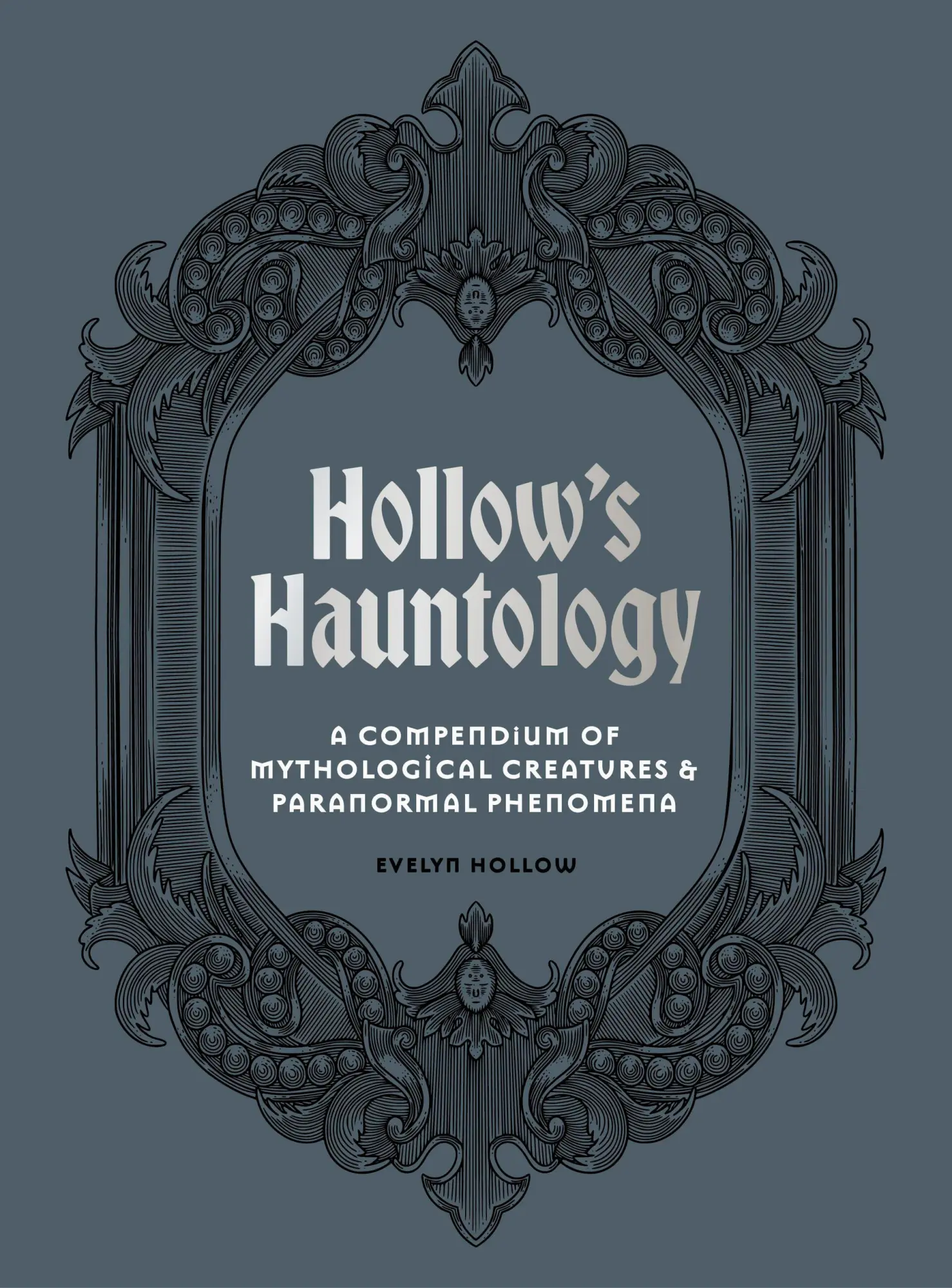
Hollow's Hauntology
A compendium of mythological creatures and paranormal phenomena
- EAN:
- 9781805700982
- Sprache:
- Englisch
25,95 €
inkl. MwSt. und Versand · Lieferzeit 1–2 Werktage
Ausverkauft
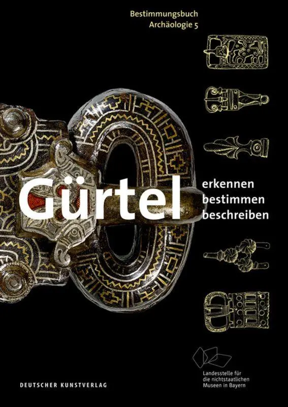
Gürtel
Erkennen - Bestimmen - Beschreiben
- EAN:
- 9783422984295
- Sprache:
- Deutsch
19,90 €
inkl. MwSt. und Versand · Lieferzeit 1–2 Werktage
Nur noch 1 verfügbar
Pennine Way
21,95 €