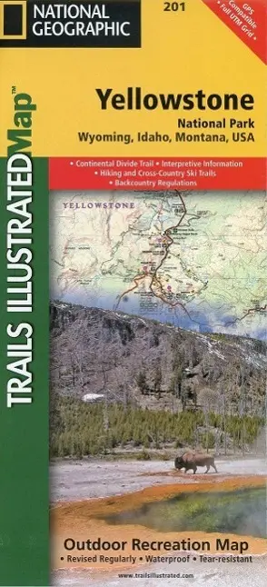
Yellowstone National Park Map
null
16,95 €
inkl. MwSt. und Versand · Lieferzeit 1–2 Werktage
Gesetzliche Gewährleistung: 2 Jahre · Details
Nur noch 2 verfügbar
Beschreibung
<p><b>- Waterproof - Tear-Resistant - Topographic Map</b></p><p>National Geographic's Trails Illustrated map of Yellowstone National Park is designed to meet the needs of outdoor enthusiasts by combining valuable information with unmatched detail of America's first national park. Expertly researched and created in partnership with local land management agencies, this map features key points of interest including Mammoth Hot Springs, Canyon Village, Yellowstone Lake, Yellowstone Falls, Grant Village, and Old Faithful geyser area.</p><ul><li>With over 1,000 miles of mapped trails, the Yellowstone National Park map can guide you off the beaten path and back again.</li><li>The clearly marked trails include mileages between intersections.</li><li>Trail summaries provide elevation, duration, and difficulty for a variety of suggested hikes.</li><li>The map base includes contour lines and elevations for summits, passes and many lakes.</li></ul><p>The bathymetry of Yellowstone Lake is shown with both contours and hill shading. Some of the many recreation features include: campgrounds, trailheads, boat ramps, marinas, scenic overlooks and interpretive trails.</p><p>Every Trails Illustrated map is printed on "Backcountry Tough" waterproof, tear-resistant paper. A full UTM grid is printed on the map to aid with GPS navigation.</p><p>Other features found on this map include: Beartooth Mountains, Big Game Ridge, Buffalo Plateau, Colter Peak, Cooke City, Corwin Springs, Craig Pass, Crowfoot Ridge, Eagle Peak, Emigrant Peak, Gallatin National Forest, Gardiner, Granite Peak, Granite Range, Grayling, Grouse Mountain, Heart Lake, Hurricane Mesa, Lake Plateau, Lamar River, Lewis Lake, Lower Falls of the Yellowstone River, Mammoth, Miner, Mount Hancock, Mount Holmes, Mount Sheridan, Mount Wallace, Mount Washburn, Old Faithful, Pahaska Tepee, Pilot Peak, Pitchstone Plateau, Ramshorn Peak, Red Mountains, Saddle Mountain, Shoshone Lake, Thorofare Plateau, West Thumb, West Yellowstone, Yell
Artikeldetails
- EAN
- 9781566952958
- Sprache
- Englisch
- Einband / Art
- (Land-)Karte
- Maße
- 208 x 108 x 5 mm
- Erscheinungsjahr
- 2022
- Verlag / Hersteller
- National Geographic Maps
Ähnliche Artikel
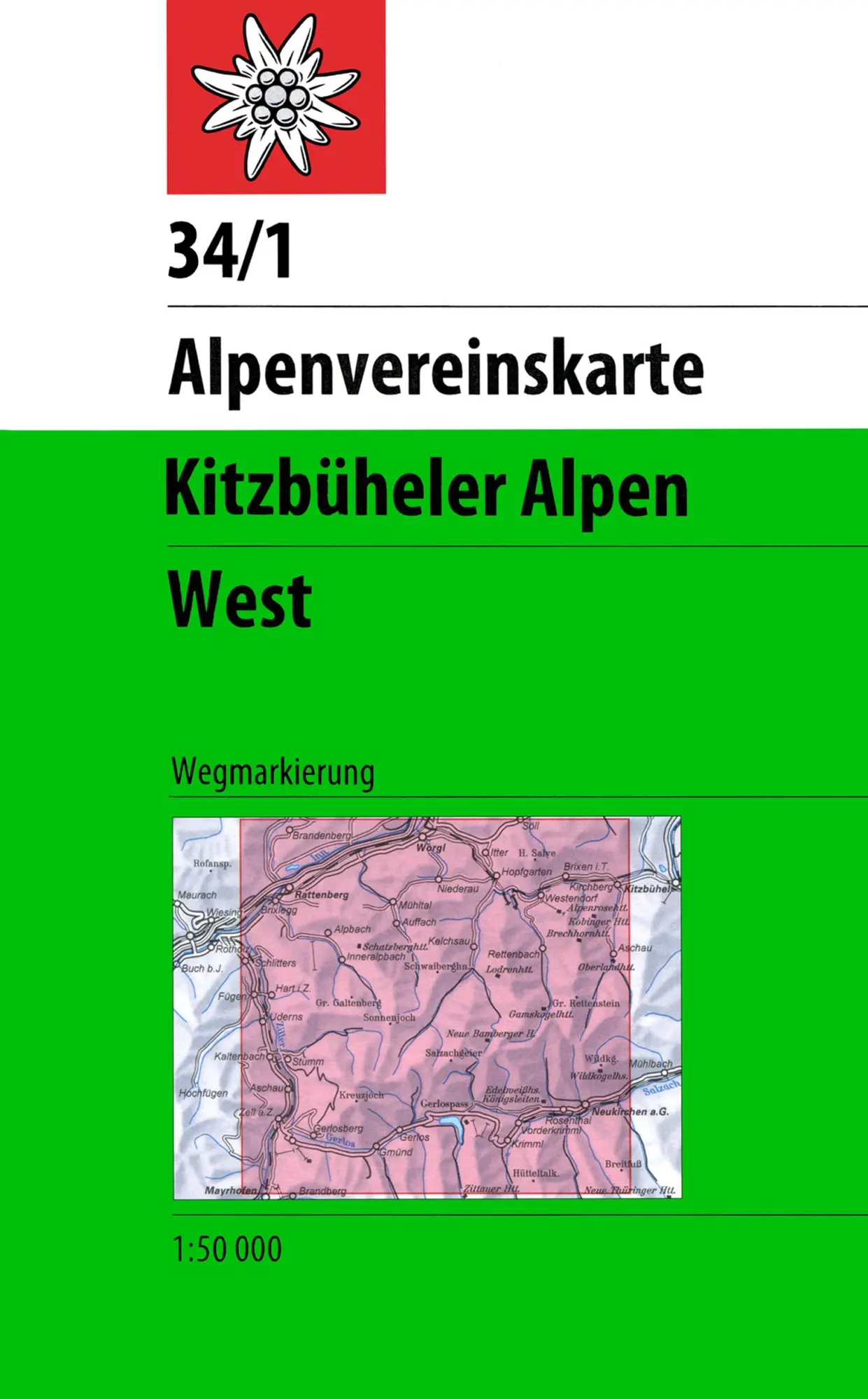
DAV Alpenvereinskarte 34/1 Kitzbüheler Alpen West 1 : 50 000 Wegmarkierungen
null
- EAN:
- 9783928777551
- Sprache:
- Deutsch
11,50 €
inkl. MwSt. und Versand · Lieferzeit 1–2 Werktage
Nur noch 3 verfügbar
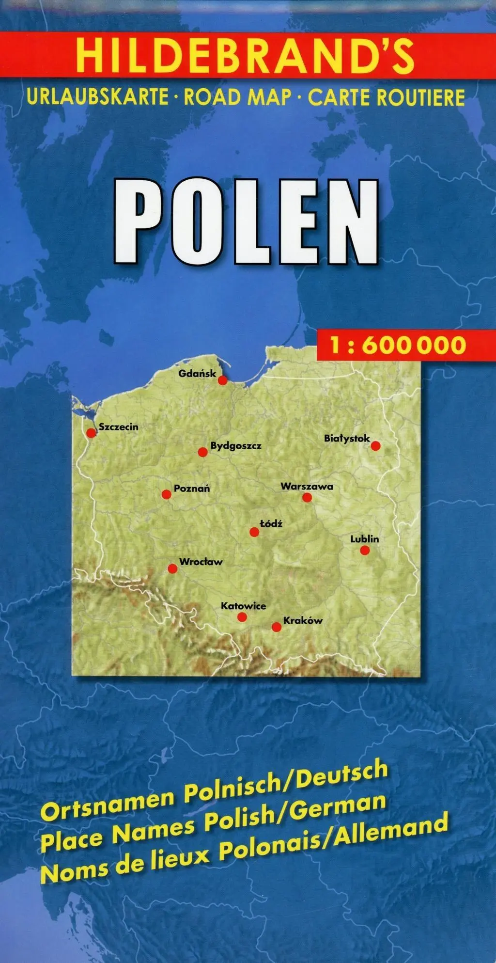
Polen 1 : 600 000. Hildebrand's Urlaubskarte LZ bis 2020
Mit Stadtplänen Warschau und Danzig, Karten Grossraum Kattowitz und Karpaten. Verzeichnis der Orte und Sehenswürdigkeiten. Entfernungstabelle. Reiseinformationen
- EAN:
- 9783889892935
- Sprache:
- Deutsch
8,95 €
inkl. MwSt. und Versand · Lieferzeit 1–2 Werktage
Nur noch 3 verfügbar
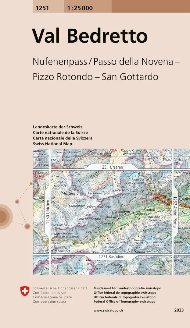
Swisstopo 1 : 25 000 Val Bedretto
Nufenenpass / Passo della Novena - Pizzo Rotondo - San Gottardo
- EAN:
- 9783302012513
- Sprache:
- Deutsch
12,95 €
inkl. MwSt. und Versand · Lieferzeit 1–2 Werktage
Nur noch 1 verfügbar
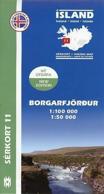
Island Serkort 11 Borgarfjordur 1 : 100 000
null
- EAN:
- 9789979331155
- Sprache:
- Deutsch
20,95 €
inkl. MwSt. und Versand · Lieferzeit 1–2 Werktage
Nur noch 1 verfügbar
Yellowstone National Park Map
16,95 €