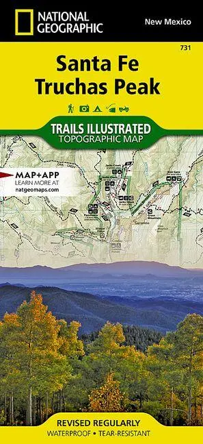
Santa Fe, Truchas Peak Map
null
15,95 €
inkl. MwSt. und Versand · Lieferzeit 1–2 Werktage
Gesetzliche Gewährleistung: 2 Jahre · Details
Nur noch 1 verfügbar
Beschreibung
<p><b>- Waterproof - Tear-Resistant - Topographic Map</b></p><p>National Geographic's Trails Illustrated map of the Truchas Peak and Santa Fe was designed for all outdoor enthusiasts enjoying the recreational opportunities around Santa Fe. Expertly researched and created in cooperation with the U.S. Forest Service and others, the map covers the area's wide range of public recreation lands with unparalleled detail.</p><ul><li>Coverage includes Santa Fe and Carson National Forests; Pecos Wilderness, River and National Historical Park; Picuris, Nambe, Tesuque Pueblos; Morphy Lake and Hyde Memorial State Parks; Santa Fe Canyon Preserve; and Open Space Parks.</li><li>Get off the beaten bath and back on again by following the map along clearly mapped trails, shown with mileage markers and colored for motorized or non-motorized use, including the area's National Recreation Trails.</li><li>Your navigation will be aided by the map's contour lines, elevations, labeled peaks and summits, water features, numbered Forest Service roads and clear color-coded boundaries for different land designations.</li></ul><p>Those preferring to explore by road will find the El Camino Real, Santa Fe Trail, Historic Route 66 and High Road to Taos Scenic Byways, all shown with their roadside points of interest. Other recreation features include trailheads, interpretive trails, campgrounds, RV campgrounds and dump stations, cross-country ski trails, alpine ski areas, boat ramps, canoe and fishing areas, lookout towers and scenic viewpoints.</p><p>Every Trails Illustrated map is printed on "Backcountry Tough" waterproof, tear-resistant paper. A full UTM grid is printed on the map to aid with GPS navigation.</p><p>Other features found on this map include: Cañoncito, Chamisal, Chimayo, Cleveland, Cordova, Cowles, Dixon, El Porvenir, Gascon, Glorieta, Holman, Nambe Pueblo, Ojo Sarco, Pecos, Pecos National Historical Park, Peñasco, Picuris Pueblo, Rincon Mountains, Rodarte, San Ignacio, Santa Fe, Sant
Artikeldetails
- EAN
- 9781566956772
- Sprache
- Englisch
- Einband / Art
- (Land-)Karte
- Maße
- 233 x 111 x 7 mm
- Erscheinungsjahr
- 2019
- Verlag / Hersteller
- National Geographic Maps
Ähnliche Artikel
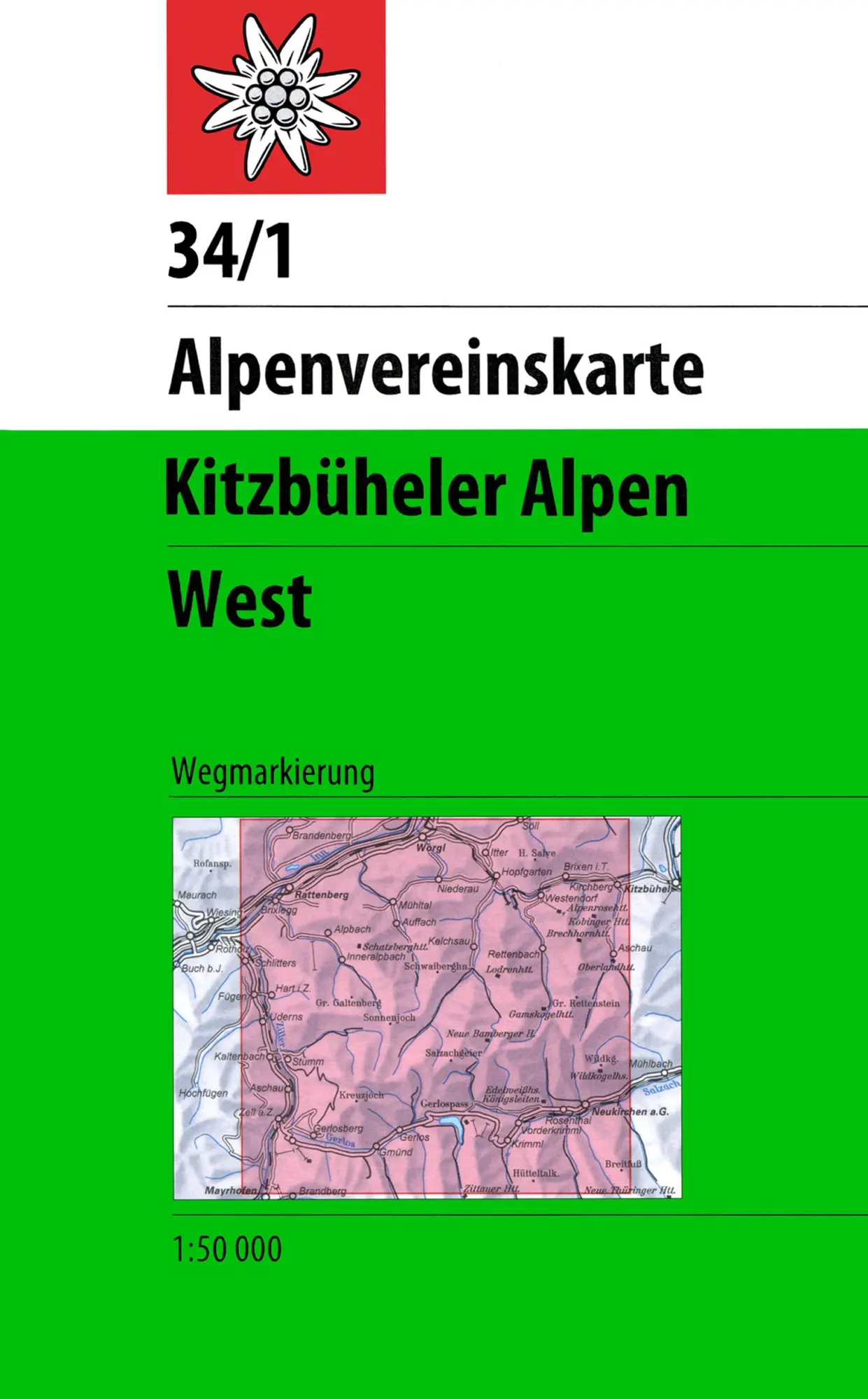
DAV Alpenvereinskarte 34/1 Kitzbüheler Alpen West 1 : 50 000 Wegmarkierungen
null
- EAN:
- 9783928777551
- Sprache:
- Deutsch
11,50 €
inkl. MwSt. und Versand · Lieferzeit 1–2 Werktage
Nur noch 3 verfügbar
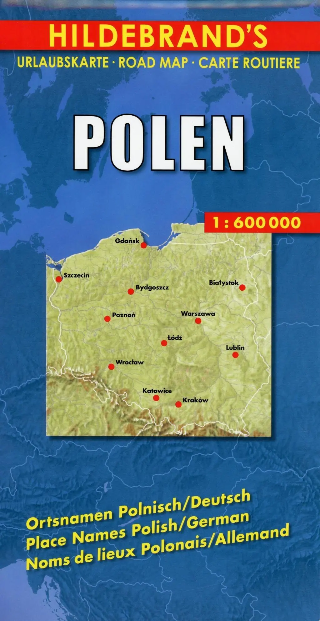
Polen 1 : 600 000. Hildebrand's Urlaubskarte LZ bis 2020
Mit Stadtplänen Warschau und Danzig, Karten Grossraum Kattowitz und Karpaten. Verzeichnis der Orte und Sehenswürdigkeiten. Entfernungstabelle. Reiseinformationen
- EAN:
- 9783889892935
- Sprache:
- Deutsch
8,95 €
inkl. MwSt. und Versand · Lieferzeit 1–2 Werktage
Nur noch 3 verfügbar
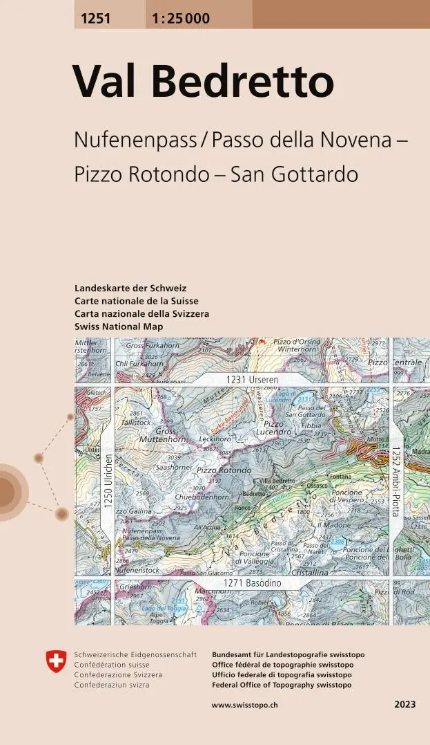
Swisstopo 1 : 25 000 Val Bedretto
Nufenenpass / Passo della Novena - Pizzo Rotondo - San Gottardo
- EAN:
- 9783302012513
- Sprache:
- Deutsch
12,95 €
inkl. MwSt. und Versand · Lieferzeit 1–2 Werktage
Nur noch 1 verfügbar
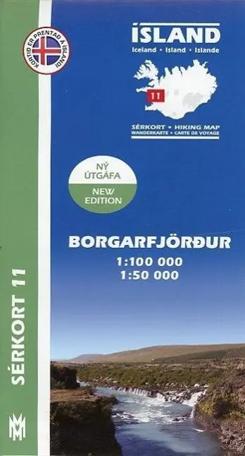
Island Serkort 11 Borgarfjordur 1 : 100 000
null
- EAN:
- 9789979331155
- Sprache:
- Deutsch
20,95 €
inkl. MwSt. und Versand · Lieferzeit 1–2 Werktage
Nur noch 1 verfügbar
Santa Fe, Truchas Peak Map
15,95 €