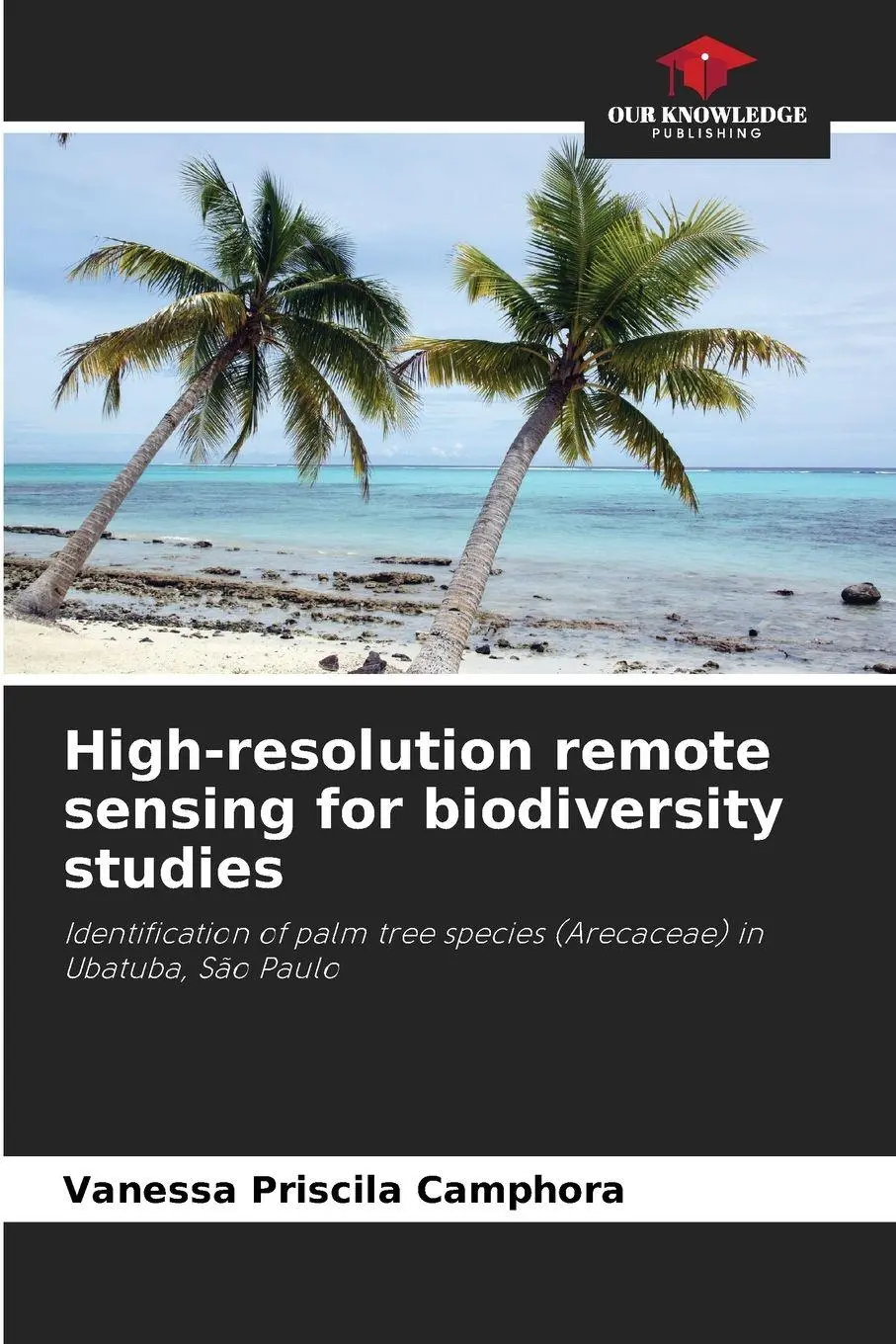
High-resolution remote sensing for biodiversity studies
Identification of palm tree species (Arecaceae) in Ubatuba, São Paulo
29,95 €
inkl. MwSt. und Versand · Lieferzeit 1–2 Werktage
Gesetzliche Gewährleistung: 2 Jahre · Details
Nur noch 1 verfügbar
Beschreibung
The Atlantic Forest, now only 7.5% of its original size, has the largest continuous areas of remaining forest in the state of São Paulo, where palm trees (Arecaceae) represent an important component of its biodiversity. The typical architecture of palm tree canopies makes them more easily identifiable by remote sensing than other trees in the forest canopy. In this context, the purpose of this research was to evaluate the potential of using high spatial resolution remote sensing images to identify palm trees in the region of Ubatuba, on the northern coast of São Paulo. A QuickBird image (0.6 m spatial resolution) from 2007 was used for the preliminary identification of species by visual interpretation, serving as a basis for both field planning and analysis for digital processing. This approach made it possible to define which palm tree species are identifiable in the high-resolution satellite image, defining the minimum mappable size of canopy palm tree crowns and which morphological attributes best describe each species and aid in identification by remote sensing.
Artikeldetails
- EAN
- 9786209441080
- Sprache
- Englisch
- Einband / Art
- Taschenbuch
- Maße
- 220 x 150 x 5 mm
- Erscheinungsjahr
- 2026
- Verlag / Hersteller
- Our Knowledge Publishing
Ähnliche Artikel

Mein Urgroßvater, die Helden und ich
null
- EAN:
- 9783789140426
- Sprache:
- Deutsch
14,00 €
inkl. MwSt. und Versand · Lieferzeit 1–2 Werktage
Nur noch 2 verfügbar

Der geheimnisvolle Raum 2
13 Live Escape Games zur Bibel in 8 Spielformaten
- EAN:
- 9783866872745
- Sprache:
- Deutsch
25,00 €
inkl. MwSt. und Versand · Lieferzeit 1–2 Werktage
Nur noch 3 verfügbar

Gürtel
Erkennen - Bestimmen - Beschreiben
- EAN:
- 9783422984295
- Sprache:
- Deutsch
19,90 €
inkl. MwSt. und Versand · Lieferzeit 1–2 Werktage
Nur noch 1 verfügbar
Die vierte Generation der Kernreaktoren
Grundlagen, Typen und Nutzen verständlich erklärt
- EAN:
- 9783662616048
- Sprache:
- Deutsch
44,99 €
inkl. MwSt. und Versand · Lieferzeit 1–2 Werktage
Nur noch 1 verfügbar
High-resolution remote sensing for biodiversity studies
29,95 €