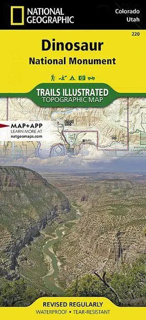
Dinosaur National Monument Map
null
15,95 €
inkl. MwSt. und Versand · Lieferzeit 1–2 Werktage
Gesetzliche Gewährleistung: 2 Jahre · Details
Nur noch 1 verfügbar
Beschreibung
<p><b>- Waterproof - Tear-Resistant - Topographic Map</b></p><p>National Geographic's Trails Illustrated map of Dinosaur National Monument, which straddles the state lines of northwest Colorado and northeast Utah, is the perfect recreational map for this stunning monument. Within its craggy hills, you can discover pieces of a long ago world where the largest land creatures of all time once roamed and died.</p><ul><li>Expertly researched and created in partnership with local land management agencies, this map features key points of interest including Dinosaur Quarry, Red Fleet State Park, Canyon of Lodore, Harpers Corner, and the town of Dinosaur.</li><li>The map also highlights many popular routes for scenic driving including Dinosaur Diamond, Harpers Corner, Tour of the Tilted Rocks, Browns Park, and Jones Hole.</li><li>This map features detailed topography with shaded relief, elevations, easy-to-read trails, and clearly defined, color-coded boundaries for parks, wildlife study areas, public lands, and areas of critical environmental concern.</li><li>Information about the region, its history and culture, geology, and natural history are provided as well.</li></ul><p>Those exploring by boat will appreciate the inclusion of river campsites, river mileage and access points along the Yampa and Green rivers. Other recreation features noted include campgrounds, boat launches, interpretive trails, fishing access, scenic viewpoints, and visitor centers.</p><p>Every Trails Illustrated map is printed on "Backcountry Tough" waterproof, tear-resistant paper. A full UTM grid is printed on the map to aid with GPS navigation.</p><p>Other features found on this map include: Blue Mountain, Canyon of Lodore, Diamond Gulch, Dinosaur, Dinosaur National Monument, Douglas Mountain, Greystone, Jensen, Massadona, Split Mountain, Uintah County, Yampa River.</p><i><ul><li>Map Scale = 1:75,000</li><li>Sheet Size = 25.5" x 37.75"</li><li>Folded Size = 4.25" x 9.25"</li></ul></i>
Artikeldetails
- EAN
- 9781566954037
- Sprache
- Englisch
- Einband / Art
- (Land-)Karte
- Maße
- 233 x 111 x 15 mm
- Erscheinungsjahr
- 2023
- Verlag / Hersteller
- National Geographic Maps
Ähnliche Artikel
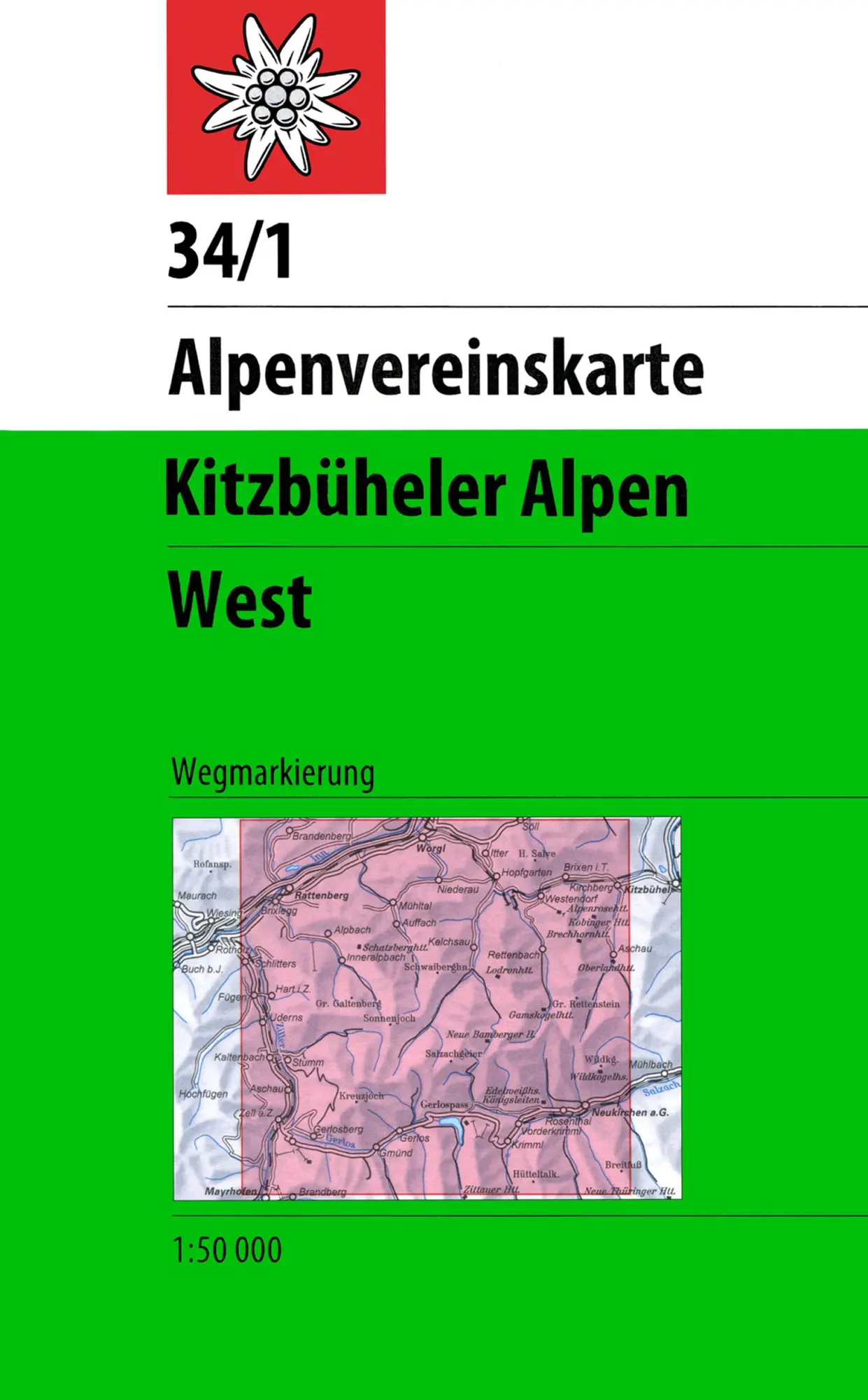
DAV Alpenvereinskarte 34/1 Kitzbüheler Alpen West 1 : 50 000 Wegmarkierungen
null
- EAN:
- 9783928777551
- Sprache:
- Deutsch
11,50 €
inkl. MwSt. und Versand · Lieferzeit 1–2 Werktage
Nur noch 3 verfügbar
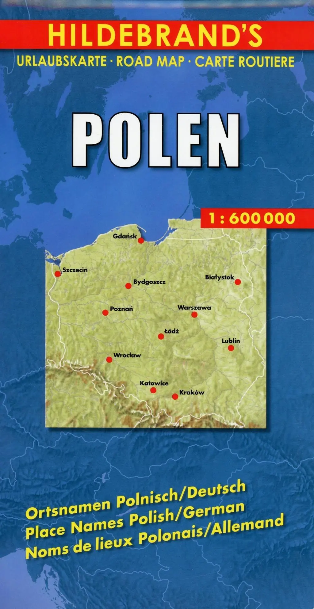
Polen 1 : 600 000. Hildebrand's Urlaubskarte LZ bis 2020
Mit Stadtplänen Warschau und Danzig, Karten Grossraum Kattowitz und Karpaten. Verzeichnis der Orte und Sehenswürdigkeiten. Entfernungstabelle. Reiseinformationen
- EAN:
- 9783889892935
- Sprache:
- Deutsch
8,95 €
inkl. MwSt. und Versand · Lieferzeit 1–2 Werktage
Nur noch 3 verfügbar
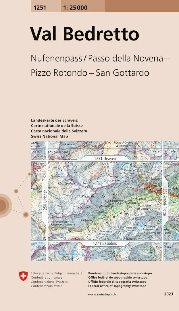
Swisstopo 1 : 25 000 Val Bedretto
Nufenenpass / Passo della Novena - Pizzo Rotondo - San Gottardo
- EAN:
- 9783302012513
- Sprache:
- Deutsch
12,95 €
inkl. MwSt. und Versand · Lieferzeit 1–2 Werktage
Nur noch 1 verfügbar

Island Serkort 11 Borgarfjordur 1 : 100 000
null
- EAN:
- 9789979331155
- Sprache:
- Deutsch
20,95 €
inkl. MwSt. und Versand · Lieferzeit 1–2 Werktage
Nur noch 1 verfügbar
Dinosaur National Monument Map
15,95 €