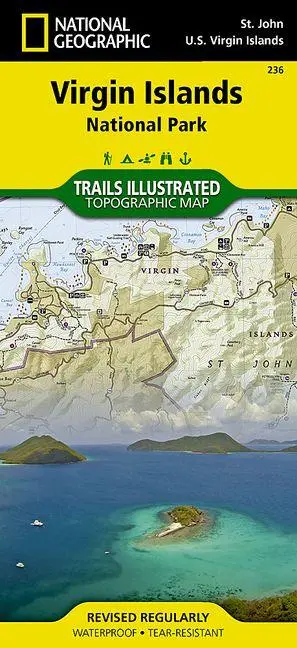
Virgin Islands National Park Map
null
16,95 €
inkl. MwSt. und Versand · Lieferzeit 1–2 Werktage
Gesetzliche Gewährleistung: 2 Jahre · Details
Nur noch 2 verfügbar
Beschreibung
<p><b>- Waterproof - Tear-Resistant - Topographic Map</b></p><p>Virgin Islands National Park is an island paradise of white sand beaches and turquoise water. Created in cooperation with the National Park Service and others, National Geographic's Trails Illustrated map of Virgin Islands National Park is a complete travel guide to to this tropical wonderland.</p><ul><li>Ferry routes will get you to the main visitor center at Cruz Bay.</li><li>Use the trail guide, with trail descriptions, lengths and hiking times, to select a suitable route.</li><li>Follow the trail on the topographic map that is complete with contour lines and elevations, as well as key points of interest and nearby facilities, including parking, campgrounds. showers, picnic areas, restrooms and beaches.</li><li>Descriptions of the snorkeling areas along with a snorkeling and diving ethics guide is provided.</li><li>Areas of coral reefs are marked on the map as are the boundaries of Virgin Islands Coral Reef National Monument.</li><li>For those who prefer navigating their own boat, anchoring information, safety tips and regulations are included.</li><li>The color-coded buoys surrounding the island are displayed on the map as are scuba moorings.</li></ul><p>Information about birdwatching and park vegetation along with illustrations of a number of bird species and local flora is provided as well. The map also covers nearby Great Thatch Island, Little Thatch Island, Frenchmans Cay, Tortola Island, Dog Island, Lovango Cay and Durloe Cays.</p><p>Every Trails Illustrated map is printed on "Backcountry Tough" waterproof, tear-resistant paper. A full UTM grid is printed on the map to aid with GPS navigation.</p><p>Other features found on this map include: Saint John.</p><i><ul><li>Map Scale = 1:22,000</li><li>Sheet Size = 37.75" x 25.5"</li><li>Folded Size = 4.25" x 9.25"</li></ul></i>
Artikeldetails
- EAN
- 9781566953467
- Sprache
- Englisch
- Einband / Art
- (Land-)Karte
- Maße
- 244 x 113 x 8 mm
- Erscheinungsjahr
- 2020
- Verlag / Hersteller
- National Geographic Maps
Ähnliche Artikel
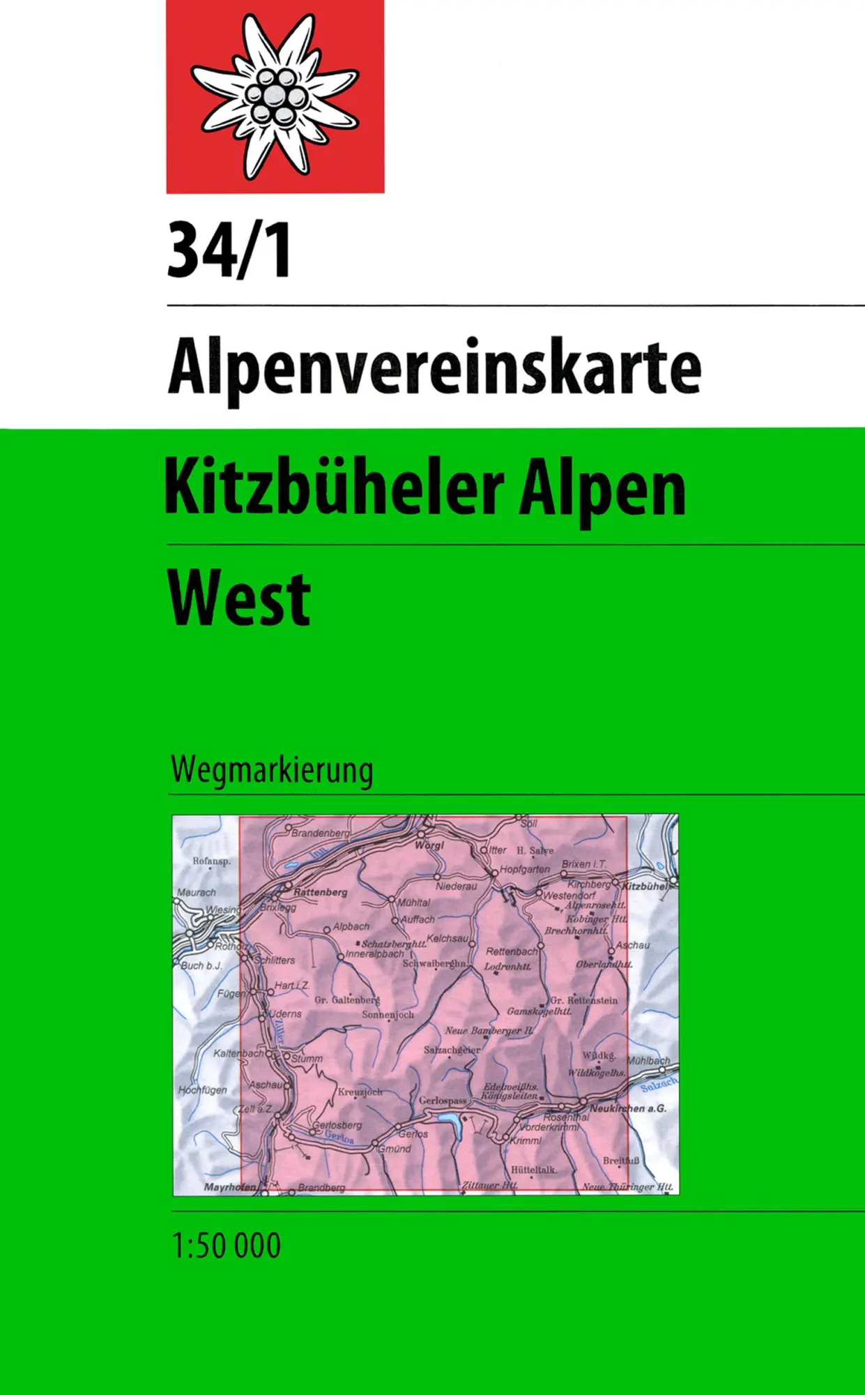
DAV Alpenvereinskarte 34/1 Kitzbüheler Alpen West 1 : 50 000 Wegmarkierungen
null
- EAN:
- 9783928777551
- Sprache:
- Deutsch
11,50 €
inkl. MwSt. und Versand · Lieferzeit 1–2 Werktage
Nur noch 3 verfügbar
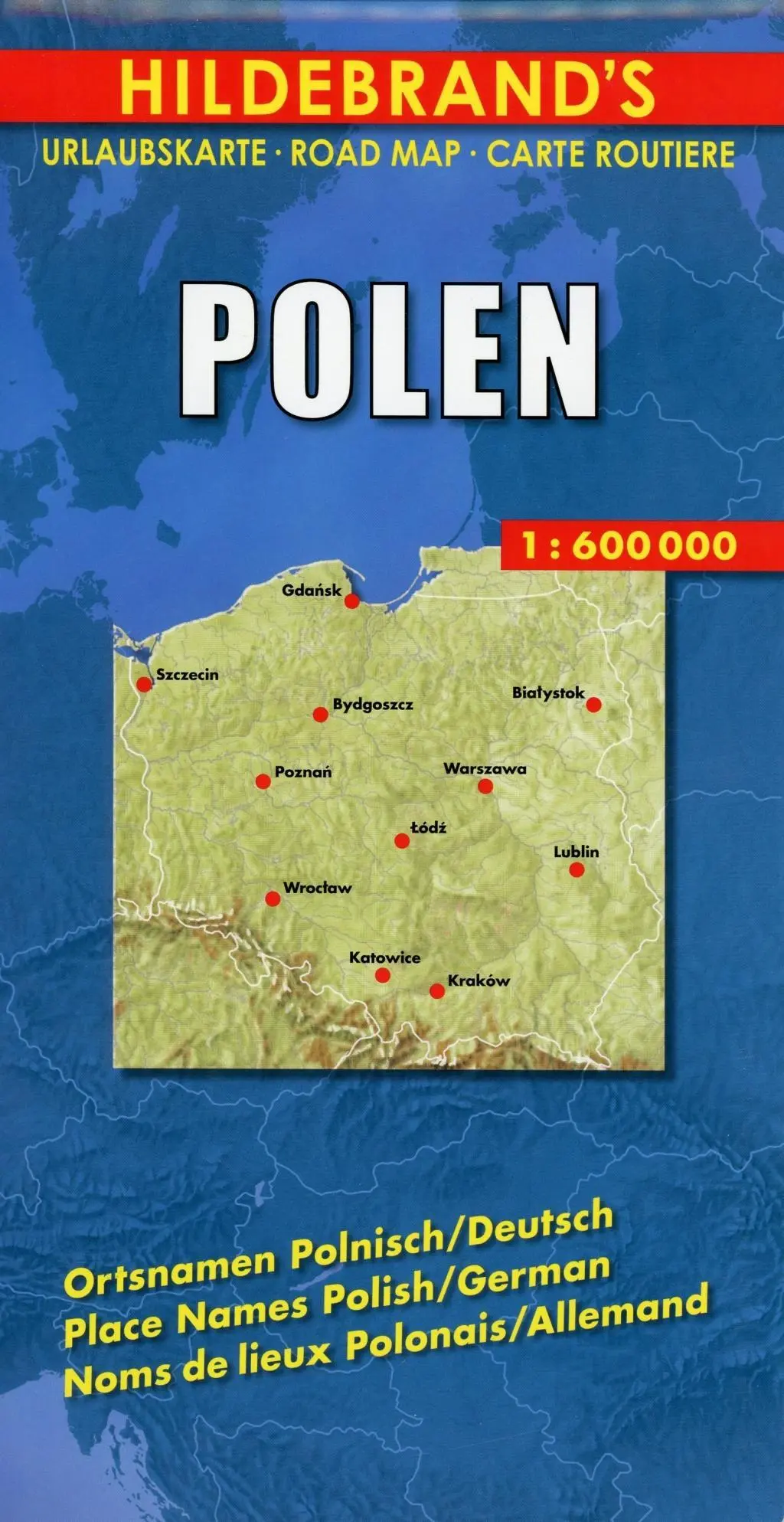
Polen 1 : 600 000. Hildebrand's Urlaubskarte LZ bis 2020
Mit Stadtplänen Warschau und Danzig, Karten Grossraum Kattowitz und Karpaten. Verzeichnis der Orte und Sehenswürdigkeiten. Entfernungstabelle. Reiseinformationen
- EAN:
- 9783889892935
- Sprache:
- Deutsch
8,95 €
inkl. MwSt. und Versand · Lieferzeit 1–2 Werktage
Nur noch 3 verfügbar
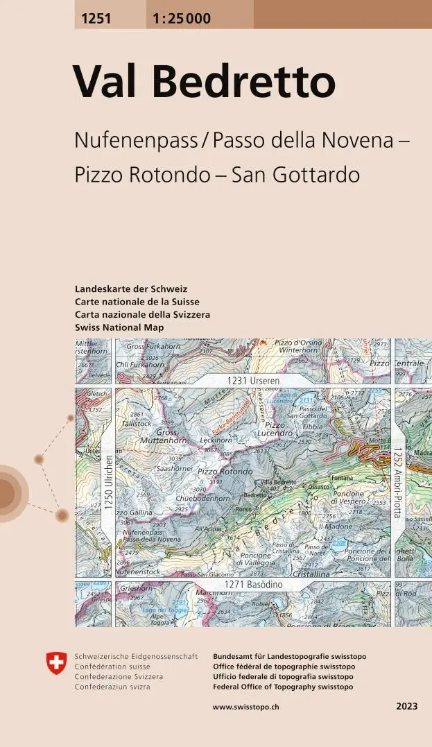
Swisstopo 1 : 25 000 Val Bedretto
Nufenenpass / Passo della Novena - Pizzo Rotondo - San Gottardo
- EAN:
- 9783302012513
- Sprache:
- Deutsch
12,95 €
inkl. MwSt. und Versand · Lieferzeit 1–2 Werktage
Nur noch 1 verfügbar
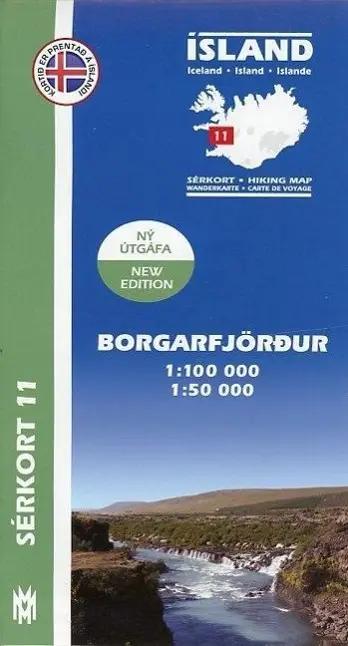
Island Serkort 11 Borgarfjordur 1 : 100 000
null
- EAN:
- 9789979331155
- Sprache:
- Deutsch
20,95 €
inkl. MwSt. und Versand · Lieferzeit 1–2 Werktage
Nur noch 1 verfügbar
Virgin Islands National Park Map
16,95 €