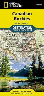
Canadian Rockies Map
null
16,95 €
inkl. MwSt. und Versand · Lieferzeit 1–2 Werktage
Gesetzliche Gewährleistung: 2 Jahre · Details
Nur noch 3 verfügbar
Beschreibung
<p><b>- Waterproof - Tear-Resistant - Travel Map</b></p><p>National Geographic's Canadian Rockies Destination Map strikes the perfect balance between map and guidebook and is an ideal resource for touring this culturally and geographically unique region. Canada's share of the Rocky Moutains averages approximately 100 miles across (160 kilometers) and runs from Waterton Lakes National Park on the Alberta-Montana border northwest towards the Yukon territory.</p><ul><li>The front side of the Canadian Rockies Destination Map reveals a map of the Alberta-British Columbia border region in the range's southern half, which is home to the many beautiful and accessible parks for which the Canadian Rockies are famous.</li><li>Jasper, Banff, Yoho, Glacier, and Kootenay National Parks are featured as well as a comprehensive road network including the Trans-Canada highway and Icefields Parkway.</li><li>Indian reserves, provincial parks, protected and natural areas, wilderness, and recreation areas are featured on the map.</li><li>Photographs highlight points of interest including the Fairmont Chateau Lake Louise, Athabasca Glacier, Natural Bridge, and Cave and Basin Natural Historic Site.</li></ul><p>The reverse side of the map provides invaluable content for travelers, including a chart and important information regarding Banff, Glacier, Jasper, Kootenay, Mount Revelstoke, Waterton Lakes, and Yoho National Parks. Visitor resources including airports, buses and shuttles, railways and parks and camping services are featured as well as information on weather, geology, wildlife, history and culture, and outdoor recreation opportunities including hiking, climbing and winter sports.</p><p>Every Destination map is printed on "Travel-Tough" waterproof, tear-resistant paper.</p><i><ul><li>Map Scale = 1:710,000</li><li>Sheet Size = 25.5" x 37.75"</li><li>Folded Size = 4.25" x 9.25"</li></ul></i>
Artikeldetails
- EAN
- 9781597755139
- Sprache
- Englisch
- Einband / Art
- (Land-)Karte
- Maße
- 233 x 108 x 7 mm
- Erscheinungsjahr
- 2020
- Verlag / Hersteller
- National Geographic Maps
Ähnliche Artikel
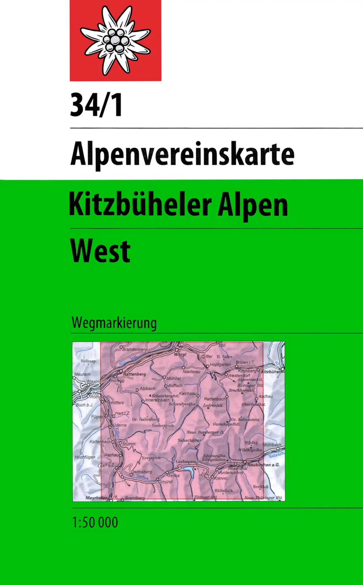
DAV Alpenvereinskarte 34/1 Kitzbüheler Alpen West 1 : 50 000 Wegmarkierungen
null
- EAN:
- 9783928777551
- Sprache:
- Deutsch
11,50 €
inkl. MwSt. und Versand · Lieferzeit 1–2 Werktage
Nur noch 3 verfügbar
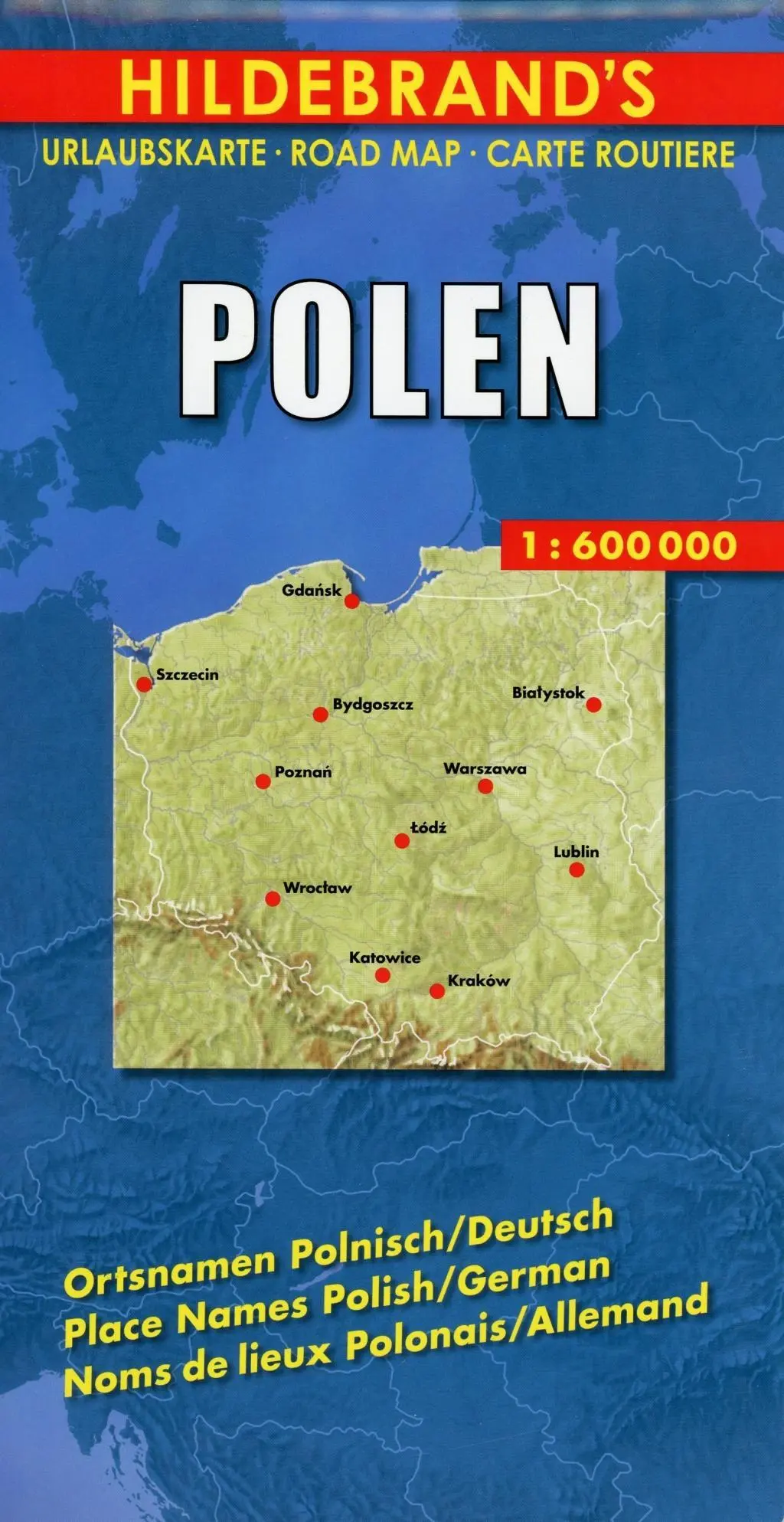
Polen 1 : 600 000. Hildebrand's Urlaubskarte LZ bis 2020
Mit Stadtplänen Warschau und Danzig, Karten Grossraum Kattowitz und Karpaten. Verzeichnis der Orte und Sehenswürdigkeiten. Entfernungstabelle. Reiseinformationen
- EAN:
- 9783889892935
- Sprache:
- Deutsch
8,95 €
inkl. MwSt. und Versand · Lieferzeit 1–2 Werktage
Nur noch 3 verfügbar
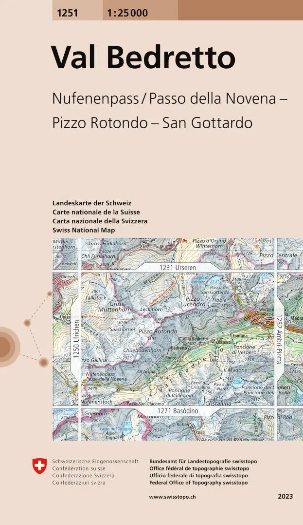
Swisstopo 1 : 25 000 Val Bedretto
Nufenenpass / Passo della Novena - Pizzo Rotondo - San Gottardo
- EAN:
- 9783302012513
- Sprache:
- Deutsch
12,95 €
inkl. MwSt. und Versand · Lieferzeit 1–2 Werktage
Nur noch 1 verfügbar
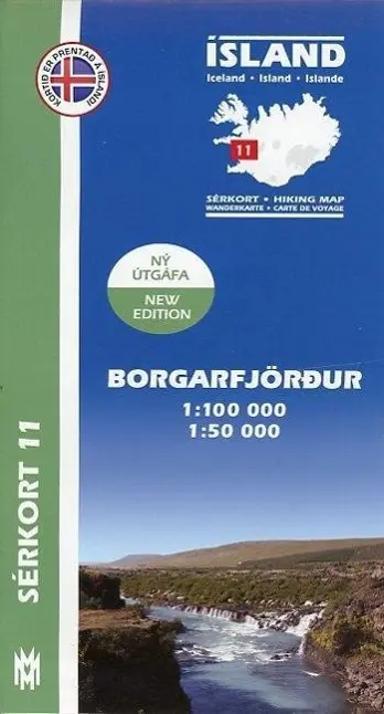
Island Serkort 11 Borgarfjordur 1 : 100 000
null
- EAN:
- 9789979331155
- Sprache:
- Deutsch
20,95 €
inkl. MwSt. und Versand · Lieferzeit 1–2 Werktage
Nur noch 1 verfügbar
Canadian Rockies Map
16,95 €