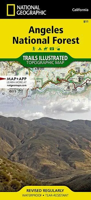
Angeles National Forest Map
null
15,95 €
inkl. MwSt. und Versand · Lieferzeit 1–2 Werktage
Gesetzliche Gewährleistung: 2 Jahre · Details
Nur noch 1 verfügbar
Beschreibung
<p><b>- Waterproof - Tear-Resistant - Topographic Map</b></p><p>National Geographic's Trails Illustrated map of Angeles National Forest provides both unmatched detail and valuable information for outdoor enthusiasts enjoying this diverse recreational area just north of Los Angeles. Expertly researched and created in partnership with the U.S. Forest Service, California State Parks and others, this map features key points of interest in the forest including Magic Mountain, Pleasant View Ridge, San Gabriel, Cucamonga and Sheep Mountain Wilderness Areas; San Gabriel Mountains; Pyramid Lake; and Piru Creek Wild and Scenic River.</p><ul><li>Also included are nearby California State Parks: Antelope Valley California Poppy Reserve, Ripley Desert Woodland, Castaic Lake State Recreation Area, Hungry Valley State Vehicular Recreation Area and Placerita Canyon.</li><li>Get off the beaten path and back on again by following the map along precisely mapped trails, labeled with mileage markers and color-coded according to designated use, whether hiking, mountain biking, ATVing or horseback riding.</li><li>Highlighted are the nearly 200 miles of Pacific Crest Trail that wind through the area.</li></ul><p>Your navigation will be aided by the map's contour lines, elevations, labeled peaks and canyons, water features, and clear boundaries between national forest, wilderness and private land. Hundreds of recreation features are marked including areas for camping, fishing, swimming, climbing, canoeing, motor boating, skiing and winter recreation.</p><p>Every Trails Illustrated map is printed on "Backcountry Tough" waterproof, tear-resistant paper. A full UTM grid is printed on the map to aid with GPS navigation.</p><p>Other features found on this map include: Acton, Altadena, Angeles National Forest, Arcadia, Azusa, Big Dalton Reservoir, Big Tujunga Canyon, Big Tujunga Reservoir, Bouquet Reservoir, Burbank, Castaic Lake, Chatsworth Reservoir, Cogswell Reservoir, Devils Gate Reservoir, Du
Artikeldetails
- EAN
- 9781566955775
- Sprache
- Englisch
- Einband / Art
- (Land-)Karte
- Maße
- 233 x 108 x 7 mm
- Erscheinungsjahr
- 2020
- Verlag / Hersteller
- National Geographic Maps
Ähnliche Artikel
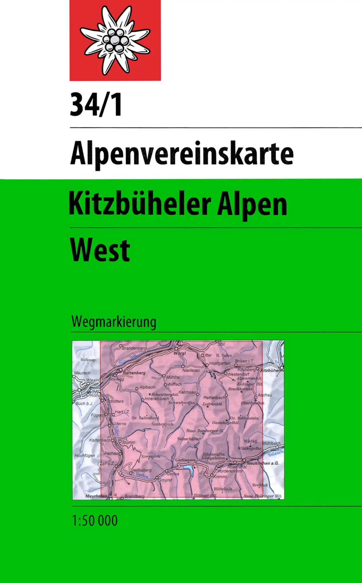
DAV Alpenvereinskarte 34/1 Kitzbüheler Alpen West 1 : 50 000 Wegmarkierungen
null
- EAN:
- 9783928777551
- Sprache:
- Deutsch
11,50 €
inkl. MwSt. und Versand · Lieferzeit 1–2 Werktage
Nur noch 3 verfügbar
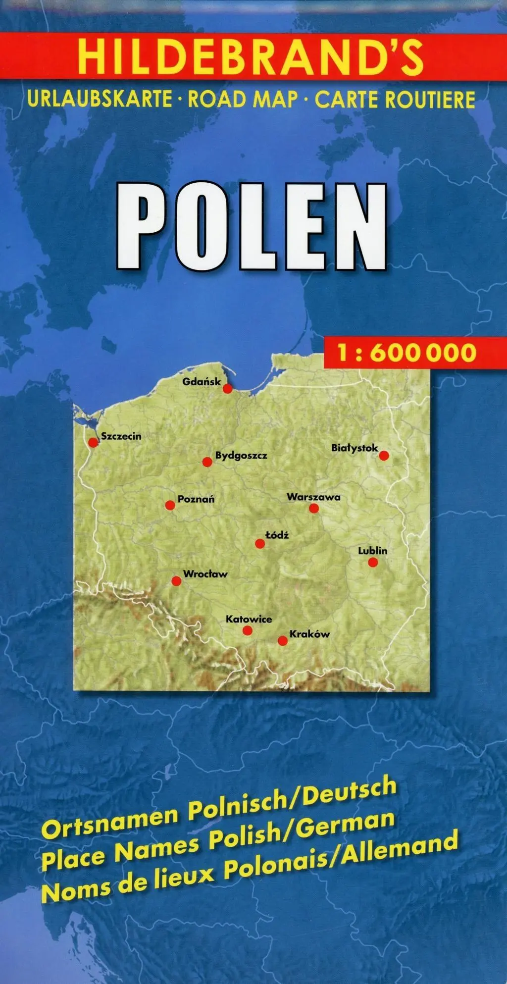
Polen 1 : 600 000. Hildebrand's Urlaubskarte LZ bis 2020
Mit Stadtplänen Warschau und Danzig, Karten Grossraum Kattowitz und Karpaten. Verzeichnis der Orte und Sehenswürdigkeiten. Entfernungstabelle. Reiseinformationen
- EAN:
- 9783889892935
- Sprache:
- Deutsch
8,95 €
inkl. MwSt. und Versand · Lieferzeit 1–2 Werktage
Nur noch 3 verfügbar
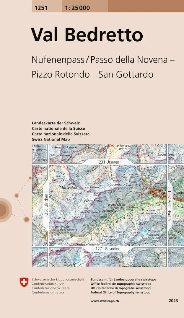
Swisstopo 1 : 25 000 Val Bedretto
Nufenenpass / Passo della Novena - Pizzo Rotondo - San Gottardo
- EAN:
- 9783302012513
- Sprache:
- Deutsch
12,95 €
inkl. MwSt. und Versand · Lieferzeit 1–2 Werktage
Nur noch 1 verfügbar
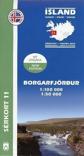
Island Serkort 11 Borgarfjordur 1 : 100 000
null
- EAN:
- 9789979331155
- Sprache:
- Deutsch
20,95 €
inkl. MwSt. und Versand · Lieferzeit 1–2 Werktage
Nur noch 1 verfügbar
Angeles National Forest Map
15,95 €